Ard Geographics


Link to Our Updated Website


Serving United Arab Emirates KSA Oman & GCC


ardgeo laser scanning dubai uae oman ksa gcc


Topographic Survey
                

Ard new Website


Ard offers a unique ability to combine its GPS expertise with traditional survey methods to achieve optimal results for its clients. From building plots to golf courses, quarries and city centers Ard Geographics has the experience and equipment to produce first class topographic mapping at the relevant scale.

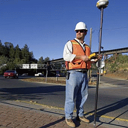
CAD facility enables us to offer 3D computer models for detail design, Data structure and layering can be tailored to your own specific requirements. Survey data is delivered digitally for inclusion in the project engineering database.

Applications

  • Project Sites   
  • Building Plots   
  • Quarry Sites   
  • Real Estate Development   
  • Pipeline Profile Surveys   
  • Route Surveys

Deliverables

  • 3D Digital Drawings   
  • Digital Terrain Models (DTM)   
  • Digital Vector Data   
  • Volumes Calculations   

Request a Quote